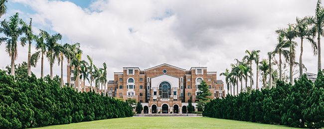

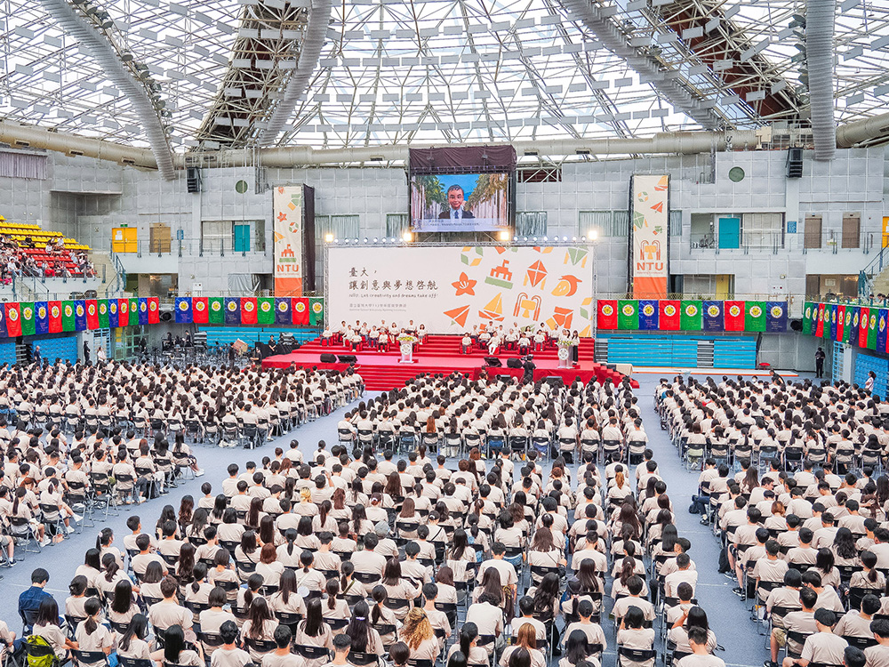
NTU Opening Ceremony: “Where Creativity and Dreams Take Flight”
瀏覽器版本過舊,或未開啟 javascript
請更新瀏覽器或啟用 javascript
Spotlights
Date: Apr 19, 2023
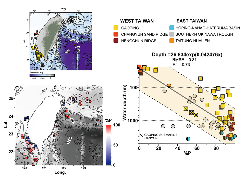
Location of sampling stations and the %P-water depth relationship offshore Taiwan.
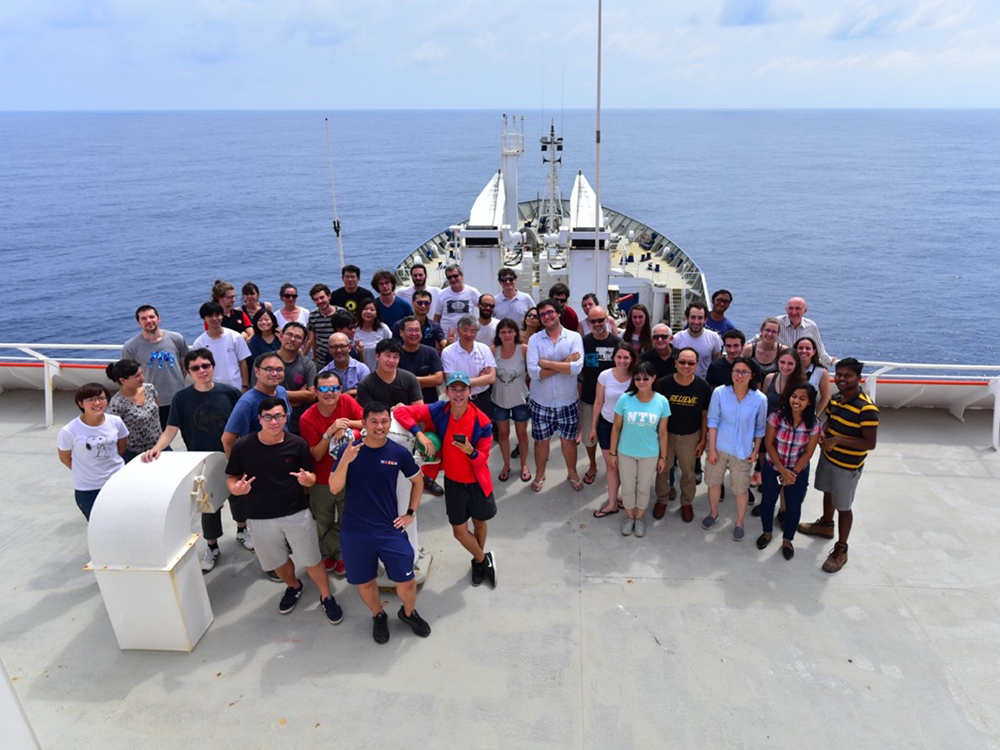
Taiwanese and French scientists on board of R/V Marion Dufresne during the 2018 EAGER cruise offshore Taiwan.
The past is the key to the future. A catalog of past occurrences of extreme geohazard events triggered by typhoons and earthquakes may shed light on their frequencies, which will in turn improve the future prediction of these events. Due to its unique location, Taiwan is prone to extreme events linked to climate (e.g., typhoons) and tectonics (e.g., earthquakes). These extreme events can trigger submarine landslides in the form of turbidity currents. In the sedimentary records offshore Taiwan, many turbidite layers can be identified, but little is known about the provenance of sediments (original water depth) or the triggers (i.e., typhoons vs. earthquakes).
In order to expand the toolbox to study submarine landslides offshore Taiwan, IONTU postdoctoral researcher Raul Tapia, assistant professor Sze Ling Ho, associate professor Pei-Ling Wang, associate professor Chih-Chieh Su and graduate students (Edwin Sicheng Le and Jheng-Kuan Lin) collaborated with researchers from several local and French institutions to assess the usefulness of planktic and benthic foraminifera to identify submarine landslides and estimate the original water depth at which the material transported downslope was initially deposited. The research was published in Marine Geology and titled “Planktic-benthic foraminifera ratio (%P) as a tool for the reconstruction of paleobathymetry and geohazard: A case study from Taiwan”.
The study used 148 samples of surface sediments collected offshore Taiwan in the past 20 years on board of Taiwanese research vessels, including NOR1, OR1, OR2, and OR3. In addition, the study also used samples collected during a Taiwan-France cruise in 2018 on board of R/V Marion Dufresne. Using these sediments, foraminifera abundance, grain size distribution, TOC, and C/N data were generated. These data are then compared to hydrographic data collected and curated by Ocean Data Bank and GLODAP database.
The results show that offshore Taiwan foraminiferal abundance and planktic-benthic foraminifera ratio (%P) correlate strongly with water depth. %P increases as the water depth increases. Therefore, using this water depth-%P equation, sediments influenced by submarine landslides can be identified, as the %P values of these sediments would be very different from sediments in the same water depth range. These data are merged with datasets collected from other regions to generate a global water depth-%P equation. This equation can be applied to sediment records to reconstruct paleobathymetry and paleo extreme events triggered by earthquakes or typhoons.
Further reading: https://www.sciencedirect.com/science/article/pii/S0025322722001931
NTU Opening Ceremony: “Where Creativity and Dreams Take Flight”
Prof. Wei-Shiung Yang wins MOE National Excellent Teacher Award
NTU College of Public Health's Global Health Program Joins the Association of Schools of Public Health in the European Region
NTU hosts a successful dg.o 2024
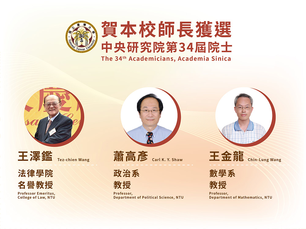
Congratulations to NTU faculty members elected as 34th AS academicians
Current Spotlights
NTU Opening Ceremony: “Where Creativity and Dreams Take Flight”
Prof. Wei-Shiung Yang wins MOE National Excellent Teacher Award
NTU College of Public Health's Global Health Program Joins the Association of Schools of Public Health in the European Region
NTU hosts a successful dg.o 2024
Congratulations to NTU faculty members elected as 34th AS academicians